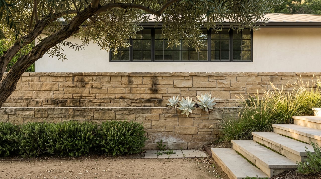
Laguna Beach Bluff Geotechnical Reports: What Buyers Miss
August 13, 2026
August 13, 2026
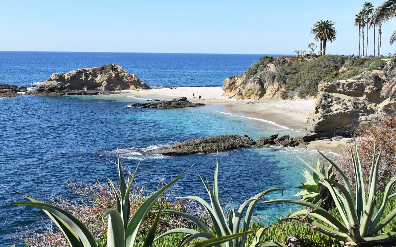
In late June 2026, a section of the bluff above Brooks Street gave way. The break came after a run of South Pacific swell stacked on top of exceptionally high king tides, and it sent sandstone crashing onto the reef below one of Laguna Beach's most storied surf breaks. City officials cordoned off the viewing area while engineers checked what remained of the slope. A longtime local surfer, Jeff Booth, put it plainly to Surfer Magazine: "We had been watching this and knew it was a matter of time."
That sentence is worth sitting with if you are shopping for, or already own, a home anywhere near a Laguna Beach bluff. Because the thing almost nobody realizes until they are deep in escrow is this: the disclosure report sitting in your transaction file was never designed to see that collapse coming. It checks a different set of boxes entirely, and the gap between what it covers and what a bluff actually does is where Laguna Beach deals get delayed, retraded, or occasionally blow up in the final stretch.
Every California home sale requires a Natural Hazard Disclosure report. Sellers order it, a third-party company prepares it, and it cross-references the property's address against six state-mapped hazard categories: two for flood, two for fire, two for earthquake. The whole thing typically costs between $50 and $150 and turns around in a few days, according to Amerisave's guide to NHD reports.
That report is useful. It is also not the same instrument as a geotechnical report, and conflating the two is the single most common misunderstanding I see in bluff-adjacent transactions here. A geotechnical study involves a licensed engineering geologist walking the actual lot, reviewing borings and aerial photo history, and rendering a professional opinion on the soil and bedrock beneath one specific parcel. That work runs into weeks rather than days, and a buyer's update or letter of opinion commonly lands in the $3,000 to $8,000 range depending on slope grade and how much new exploration it requires.
| NHD Report | Geotechnical Report | |
|---|---|---|
| Typical cost | $50 to $150 | $3,000 to $8,000 |
| Who prepares it | Third-party disclosure company | Licensed engineering geologist |
| What it checks | State-mapped flood, fire, fault, and seismic hazard zones | Actual soil, bedrock, and slope conditions on your lot |
| Turnaround | A few days | Weeks or longer |
| Covers wave-driven bluff erosion | No | Yes, directly |
Here is the part that catches people off guard: the seismic category on an NHD covers landslide zones triggered by earthquakes. It has nothing to say about a bluff that is slowly failing because ocean swell has been undercutting its base for years, then releases all at once during a storm. Those are two different physical processes, and only one of them shows up on a state map.
Look at the pattern over the past eighteen months. On the morning of January 31, 2025, a bluff partially collapsed near Thousand Steps Beach. About 500 cubic yards of material came down near Point Place, three nearby homes were briefly evacuated, and the private stairway the local HOA maintained was destroyed. No one was hurt, but the access staircase was gone.
Then came Brooks Street. The wave itself has real standing in surf history, having appeared in one of Bruce Brown's classic surf films and hosting the Brooks Street Surfing Classic since 1955, a contest so tied to swell conditions it has no fixed date on the calendar and is often compared to Hawaii's Eddie Aikau Invitational. The bluff above it had likely been absorbing pressure for years before the June 2026 swell tipped it over.
Neither event required an earthquake. Neither would necessarily have shown up as a red flag on a standard NHD. What both had in common was a slope quietly losing ground until a specific weather event exposed it, which is exactly the kind of site-specific condition only a geotechnical study is built to catch.
Laguna Beach's certified Local Coastal Program has delegated most coastal development permit authority from the state to the city since January 13, 1993, according to the city's own Local Coastal Program page. That delegation covers almost the entire city. It does not cover three specific pocket enclaves: Blue Lagoon, Irvine Cove, and Three Arch Bay. Coastal development permits in those three areas still go directly to the California Coastal Commission rather than through city planning.
In practice, that means two comparable bluff-top remodels a few blocks apart can face entirely different review paths and timelines, one through the city's planning counter and one through a state commission hearing, purely based on which side of an old boundary line the parcel sits on. If you are evaluating a property in or near one of those three enclaves, confirming which review path applies is a first step, not an afterthought.
The city's Local Coastal Program applies a 25-foot bluff edge setback consistently across bluff-top parcels. That sounds like a clean, simple number. It is, until you get to the question of where the "edge" actually is, which is a matter of professional geologic interpretation rather than a line anyone can eyeball from the street.
A February 2026 correspondence filed with the California Coastal Commission over two adjoining Coast Highway lots shows how contentious that determination can get. The applicant's geologist argued the natural bluff edge sat at the 89-foot elevation contour. The Commission's staff geologist had drawn it differently. The firm involved, which has performed geotechnical investigations on more than 200 Laguna properties and roughly 76 in the stretch between Aliso Creek and Three Arch Bay alone, was still contesting the finding months after the city's initial decision.
If two firms with decades of local experience can land on different bluff edges for the same property, a seller's NHD and a casual walk-through are not going to settle it for you. A buyer's own geotechnical opinion is the only document that speaks directly to your parcel.
If you're selling a hillside or bluff-adjacent property, the smart move is doing this work before a buyer's inspector does:
If you're buying, the questions shift slightly:
If my NHD says the property isn't in a landslide zone, am I in the clear on bluff risk? Not necessarily. The NHD's landslide category covers earthquake-induced slope failure. Wave-driven bluff erosion and storm-saturated slope failure, the mechanism behind both Thousand Steps and Brooks Street, are a separate physical process that a state hazard map isn't built to flag.
How long does a coastal development permit actually take in Laguna Beach? It varies by scope and by whether the project sits in an appealable zone, but plan for months rather than weeks, and longer still if a decision gets appealed to the Commission.
Who typically pays for a buyer's geotechnical update? It's usually part of what gets negotiated within the inspection contingency period, the same way a buyer negotiates other inspection costs, rather than a fixed rule either way.
Bluff geology in Laguna Beach rewards patience and punishes assumptions. If you're weighing a hillside or bluff-adjacent purchase, or preparing one to sell, Tony Salay Real Estate Group can walk the specific parcel-level questions with you from the first conversation through closing. Contact us.
Stay up to date on the latest real estate trends.

Whether you're buying, selling, or just exploring your options, Tony and Shelley bring decades of experience and local expertise to every conversation.
Tony Salay Real Estate Group
32356 S Coast Hwy Laguna Beach, CA 92651 Tony and Shelley Salay | CA DRE# 1964400 - 00828762 Pacific Sotheby’s International Realty | CA DRE# 01767484